Blackpool, South Shore
Selecting a filter will automatically update the page
Burnley
Preston, Fulwood
Blackpool, Bispham, South Shore

Blackpool, South Shore, St Annes

Read the article written about Have Your Say on Lancashire Fire and Rescue Service’s Future Priorities
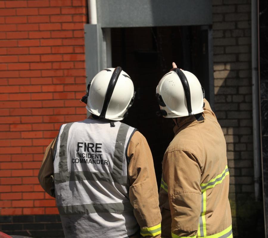
Lancashire Fire and Rescue Service (LFRS) is inviting people across the county to take part in the second phase of consultation on its draft Community Risk Management ...
Read the article written about Stay safe in the summer sunshine
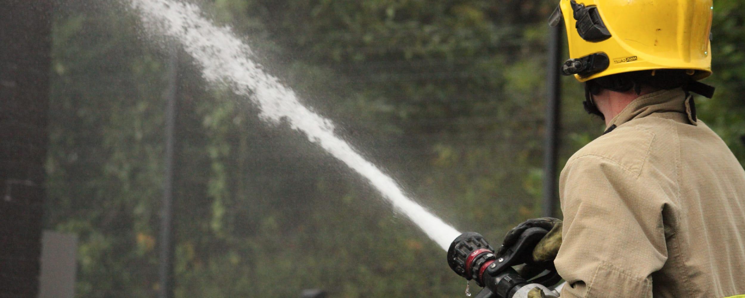
With temperatures set to reach 30°C this week, many of us will be making the most of the sunshine and spending more time outdoors. Whilst it can be a great opportunity...
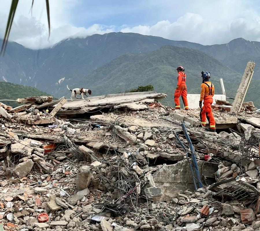
Read the article written about Lancashire firefighters deployed to Venezuela as part of UK international rescue effort
Five firefighters and two search dogs from Lancashire Fire and Rescue Service have been deployed to Venezuela as part of a UK-wide search and rescue mission following ...