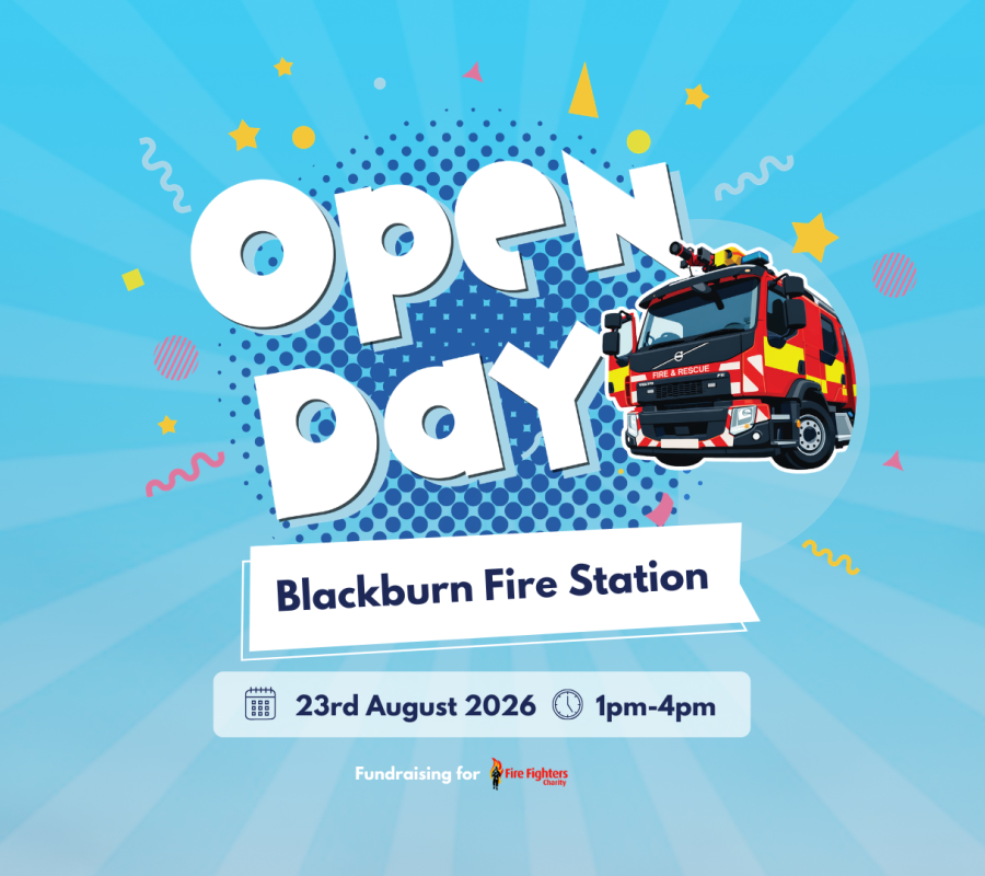
Blackburn Open Day
Read the article written about Blackburn Open Day
Join us at Blackburn Fire Station for our Open Day on Sunday 23rd August, from 1:00pm to 4:00pm.Face paintingFood stallsRaffle and tombola with great prizesBurn displa...
The project aims to improve emergency planning and response at one of the UK’s busiest and most complex leisure attractions, which welcomes more than five million visitors annually.
Using drone technology and OS expertise in unmanned aerial system (UAS) mapping, fire and rescue teams captured detailed aerial imagery of the site and created a photorealistic 3D mesh model. The digital model provides responders with a clearer understanding of the park’s dense layout, elevated rides and restricted access routes that are difficult to visualise using traditional 2D plans.
The model has also been combined with wider town-scale 3D mapping from OS, creating a comprehensive digital environment that can support multi-agency planning, training exercises and incident response.
According to project partners, the technology improves shared situational awareness, helps identify evacuation and staging routes, and enhances responder safety while enabling the same digital assets to be reused across agencies.
The initiative builds on previous uses of OS 3D mapping technology in emergency response scenarios across the UK, including major evacuations and environmental incidents.
Read the article written about Blackburn Open Day
Join us at Blackburn Fire Station for our Open Day on Sunday 23rd August, from 1:00pm to 4:00pm.Face paintingFood stallsRaffle and tombola with great prizesBurn displa...
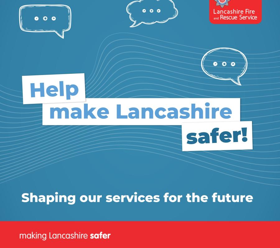
Read the article written about Have Your Say on Lancashire Fire and Rescue Service’s Future Priorities
Lancashire Fire and Rescue Service (LFRS) is inviting people across the county to take part in the second phase of consultation on its draft Community Risk Management ...
Read the article written about Stay safe in the summer sunshine
With temperatures set to reach 30°C this week, many of us will be making the most of the sunshine and spending more time outdoors. Whilst it can be a great opportunity...